Drones serving the territory and its citizens
Municipalities, governments and institutions: TREO becomes your single point of contact for every drone use, within a compliant, insured and documented framework.
Fields of intervention
Concrete applications
for the public sector
Infrastructure inspection
Bridges, municipal buildings, reservoirs, equipment: document the condition of public assets without lifts, without extended closures and without risk to crews.
Water management
Monitoring of shorelines, basins and flood zones: a regular overview to anticipate, document and plan interventions.
Public works monitoring
Periodic, dated documentation of your infrastructure projects, useful for contract management, accountability and keeping elected officials informed.
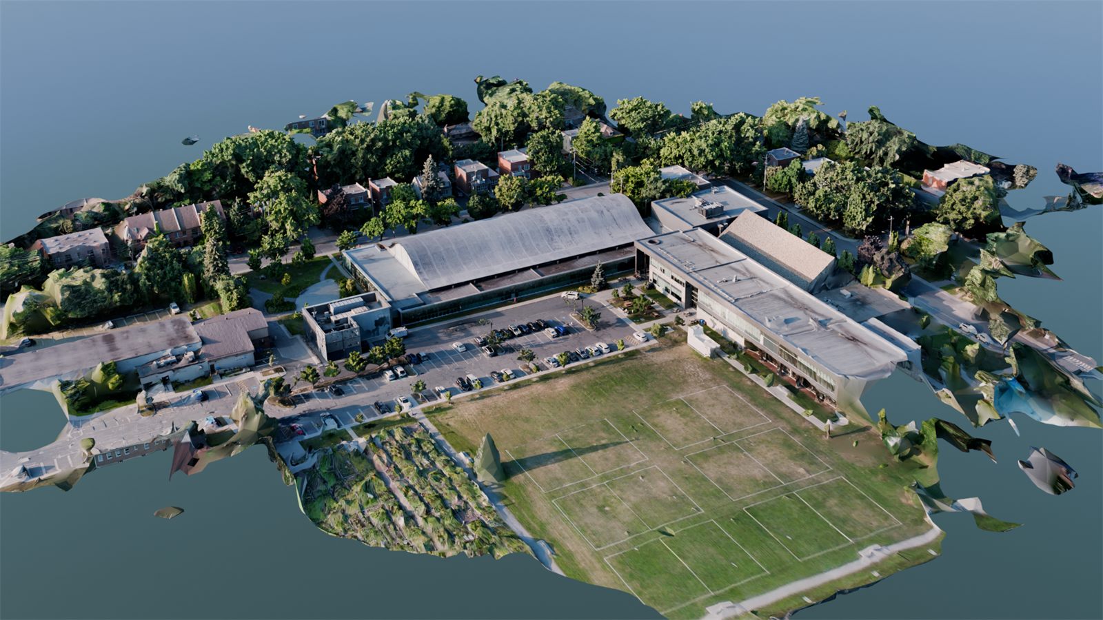
Mapping and geomatics
Orthophotos and georeferenced data that integrate with your geographic information systems for land planning.
Citizen communications
Flattering aerial imagery of your territory for publications, annual reports and the promotion of your community.
Safety and events
Planned aerial coverage of public events and visual support for operations, coordinated with your services and the relevant authorities.
Why TREO
One supplier,
accountable and compliant
The public sector demands rigour, traceability and compliance. That is exactly what the TREO model was built to provide.
Every operation is planned and documented: Transport Canada authorizations, risk analyses, liability insurance and safety protocols. You deal with one firm able to cover all your drone needs, from inspection to communications, instead of multiplying specialized suppliers.
One supplier file, one point of contact, full capability: drones become a simple tool to integrate into your municipal and institutional operations.
Flight plans, authorizations and reports: complete traceability for your records.
Every drone discipline accessible through a single service agreement.
A partner who knows your territory and shows up, year after year.
- Transport Canada compliance
- Liability insurance
- Certified specialists
- One point of contact
Next step
Bring drones
to your organization.
Tell us about your challenges. We will prepare a clear proposal, adapted to your procurement processes.