Drone solutions, not flight hours
You are not buying a drone and a pilot. You are entrusting a need to a firm that designs the solution, mobilizes certified specialists and answers for the result.
The end to end model
The general contractor
of drone work
Like a general contractor on a building site, TREO takes full responsibility for the mandate and coordinates every trade of the drone industry.
Each drone discipline demands different skills, certifications and systems. Instead of juggling suppliers, you work with a single firm that selects the right specialist and the right aircraft for each mission, then supervises execution from start to finish.
Planning, Transport Canada compliance, insurance, safety, data processing and delivery: everything is included, managed and documented.
A single point of contact from first call to final deliverable, for every mandate.
Certified pilots and specialists in every discipline, mobilized as the need requires.
Transport Canada compliance and liability insurance on every single operation.
Discipline 01
Cinematography
and FPV
Aerial imagery that elevates your brand, your productions and your communications.
Stabilized cinematic shots, immersive FPV sequences in the heart of the action, spectacular hyperlapses: our imaging specialists mobilize the system suited to each scenario and deliver content that is ready to publish.
Discipline 02
Mapping and photogrammetry
Precise geospatial data you can decide with.
High precision orthophotos, digital terrain models, georeferenced surveys: we deliver data compatible with your engineering, surveying and GIS software, validated by geomatics specialists.
Discipline 03
Technical inspection
Inspect without scaffolding, lifts or operational shutdowns.
Roofs, structures, facades, energy infrastructure: drones reach what is hard to access and document the condition of your assets with remarkable precision. You receive clear reports your technical teams can act on.
Discipline 04
3D modeling
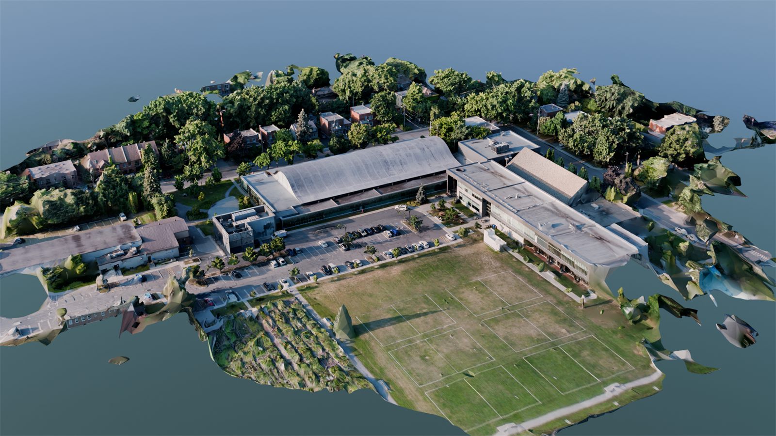
Your site, as a measurable, shareable digital twin.
From thousands of aerial images, we rebuild your buildings, sites and territories as faithful 3D models. A powerful tool for planning, design, BIM integration and project communication.
Discipline 05
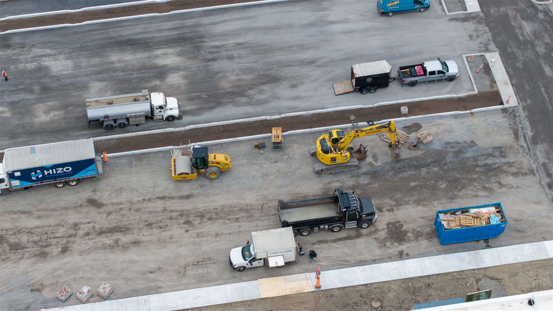
Volume calculation
Reliable volumetric measurements, without stopping the site.
Material stockpiles, excavations, backfill: drone surveys calculate your volumes with rigour and speed. Track quantities month over month and back your progress claims with verifiable data.
Discipline 06
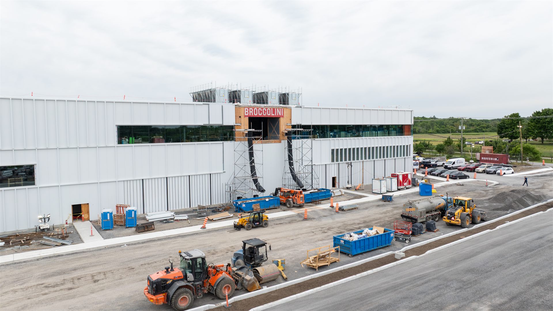
Site monitoring
A regular, documented eye on your evolving sites.
Scheduled periodic flights, comparative imagery, dated documentation: track the real progress of your work, catch deviations early and keep a complete visual history of the project.
- Transport Canada compliance
- Liability insurance
- Certified specialists
- One point of contact
Is your need elsewhere?
If a drone can do it,
TREO can orchestrate it.
Describe your need, even an unusual one. We design the solution and mobilize the right specialists.